May 1, 2017 – Dry weather through the middle of the week with temps climbing to well above normal. Showers possible towards the end of the week, mainly over the mountains.
Discussion
Short-wave sliding to the east into the Great Basin with clear skies under high pressure across interior NorCal. Northerly surface winds have developed overnight as the MFR-SAC gradient has increased to around 9 mbs. Current temps range from the upper 20s and 30s in the wind sheltered mountain valleys to the upper 40s and 50s elsewhere, except low to mid 60s across breezier portions of the Central Valley.
Upper ridging amplifies early this week and gradually builds inland thru Wednesday. Airmass warms as 1000-500 mb thicknesses and 5H heights trend up. Eastern Pacific surface high pressure increases into southern Oregon as thermal troughing deepens across NorCal resulting in some breezy northerly winds into Wednesday.
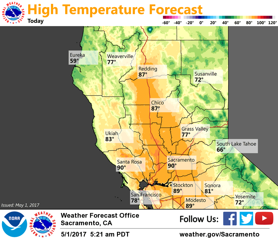
High temperatures in the Central Valley warm from the upper 80s and lower 90s today and Tuesday into the lower to mid 90s on Wednesday, which is expected to the be the warmest day of the week. Max temps in the foothills and mountains will range from the upper 50s near the Sierra crest to near 90 in warmest portions of the foothills.
Mid-level cap expected to erode enough by Thursday (possibly as early as Wednesday) with upper ridge axis shifting east for scattered late day shower and thunderstorm development over the mountains late in the week (TPW forecast to recover to around an inch across interior NorCal by later Wednesday).
Temperatures forecast to gradually decrease the second half of the week as high pressure weakens and lower level flow turns onshore.
Extended discussion (Friday through Monday)
General model agreement exists for an upper low/trough pattern near the NW California coast Saturday and progressing toward Southern California and Baja by Monday. This pattern will bring progressively cooler weather with chances for showery precipitation.
Chances for showers and potentially enough instability for thunderstorms, but we did not include thunderstorms in the forecast at this time. Any potential snow will be for elevations higher than 6000 or 6500 feet with little to no expected widespread impacts.
Heavy showers can still create locally high snowfall rates, but it will be difficult for any significant accumulation on roadways this time of year.