May 10, 2020 – Dry weather with above average temperatures continues through today. Much cooler weather along with precipitation chances return for this week.
Discussion
Onshore flow returned to Northern California late in the day yesterday as an upper level trough approaches the West Coast. Temperatures across much of interior NorCal late last night were around 5 to 15 degrees cooler than the night before, especially in the Delta influenced areas. A cooling trend begins today as the trough continues to move closer to the coast. High temperatures today will be 5 to 15 degrees cooler than yesterday with temperatures cooling around the same amount each day through Tuesday.

Along with cooler weather comes a chance of precipitation across much of interior NorCal early this week. A closed low is slated to slide along the coast of the Pac NW through midweek with multiple impulses moving around the low through NorCal. As the first shortwave moves through California, a surface cold front will move through NorCal Monday through early Tuesday. Widespread rain is likely along the frontal passage, with the far northern Sacramento Valley and mountains receiving the most precipitation. The rest of the Valley will likely only see 0.02 to 0.15 inch as the front passes. Another shortwave will move through Tuesday with continuing chance of precipitation for most of the area. Weak post-frontal instability could bring a chance of isolated thunderstorms, mainly to the northern Sacramento Valley and associated foothills. Another shortwave will move through the area, bringing another chance of precipitation to mainly the northern Sacramento Valley and mountain locations north of Highway 50.
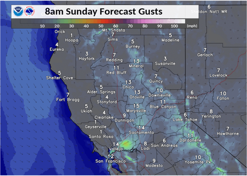
Gusty south to west winds are likely Sunday through Tuesday, with the strongest winds expected Monday with the main frontal passage. Most areas can expect gusts around 15 to 25 mph in the afternoon and evenings, with gusts up to 30 mph in the Delta. On Monday, expect gusts 25 to 35 mph and up to 40 mph over higher terrain.
Extended Discussion (Thursday through Sunday)
Lingering precipitation chances continue over the northern half of the forecast area Thursday as the closed low remains over the PacNW. Ensembles in reasonable agreement that short-wave ridging will bring a return of dry and warmer weather Friday and Saturday before a potentially wetter system moves in late next weekend.