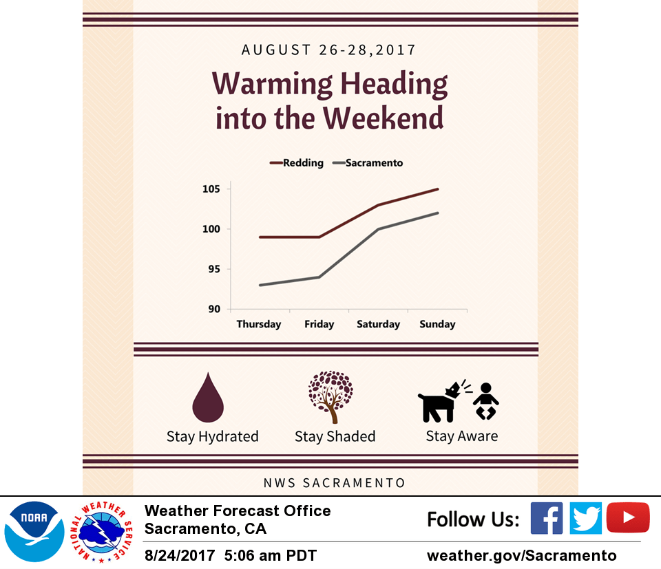
August 24, 2017 – Hot and dry weather returns to the region later this week with temperatures returning to well above average by the weekend.
Discussion
Upper level disturbances were evident as depicted by water vapor imagery and model analysis early this morning. A lingering low pressure system over southern California continues to slowly move to the east. Moisture streaming ahead of a low pressure system in the eastern Pacific slides ahead of an upper level front draped off the coast of northern California. Plenty of dry air was in place across interior northern California with clear satellite and radar imagery.
The series of disturbances near California will keep afternoon temperatures from soaring over the interior for today and Friday. A building high pressure will approach the Great Basin Friday and will keep any unsettled weather and moisture from impacting the region. The increase in stability will result in clear skies and above normal temperatures as much as 10 to 12 degrees above normal for some locations in the forecast area.
Extended discussion (Monday through Thursday)
Upper level high pressure system over the west will continue to provide dry weather and above normal temperatures for the extended forecast period next week. Temperatures will slowly trend downward into the middle of next week but will continue to be above normal.