November 15, 2021 – Light showers are possible over far northern California tonight. A better chance of more widespread showers Thursday into Friday.
Discussion
Areas of dense fog have again developed over much of the Sacramento Valley southward into the Central Valley, and westward into the Delta region and a dense fog advisory is in effect through 11 am. Motorists should be prepared for reduced visibility in dense fog. Conditions expected to improve later this morning.
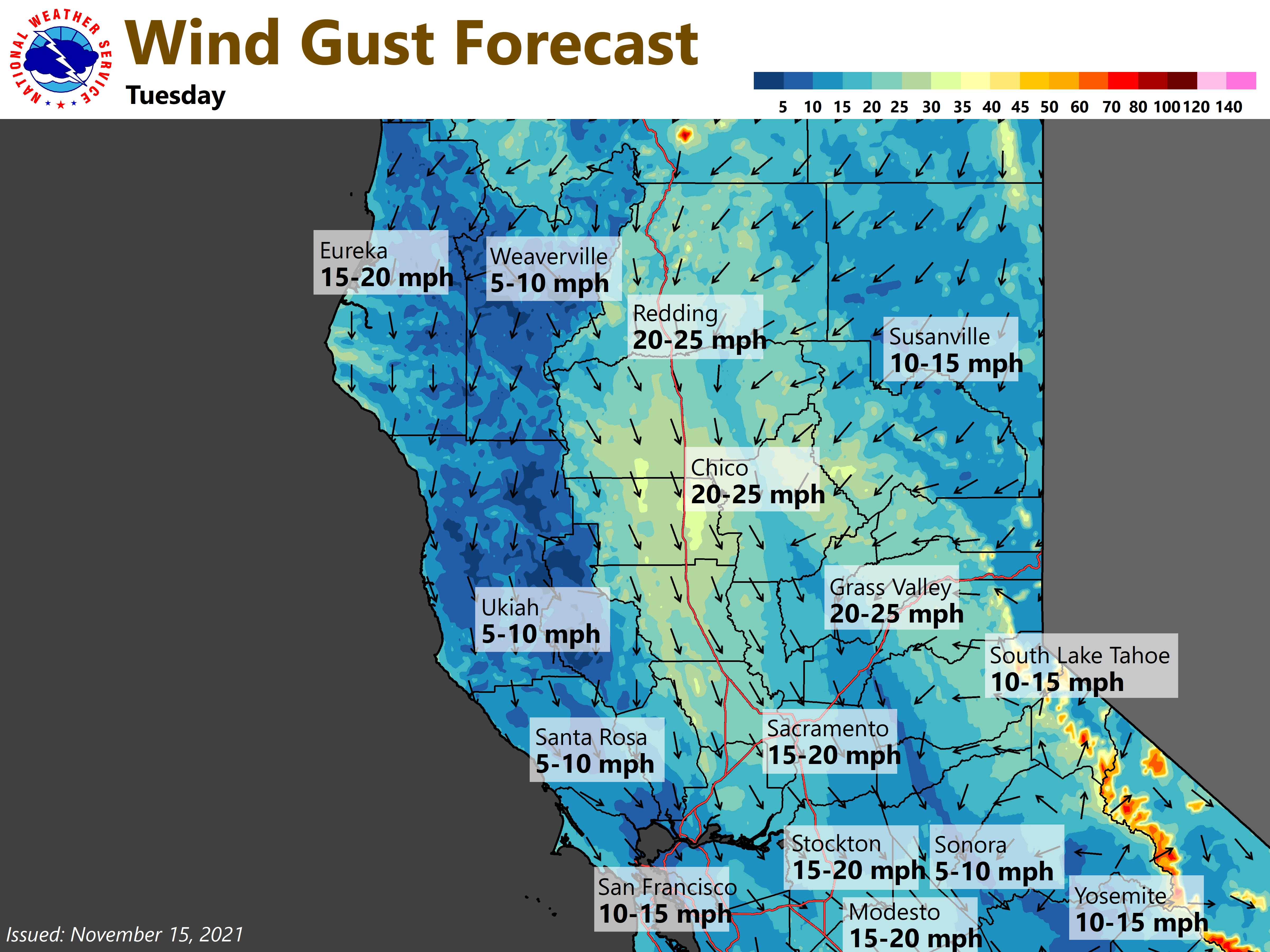
Upper level ridge that has controlled the weather over NorCal the past few days will shift east and flatten today and tonight, as a quick moving, weak trough pushes through the area. Only very light rainfall amounts are expected with this system with amounts generally less than 0.10 inches over the southern Cascades north of Lassen and northern Shasta county. The system will quickly move into the Great Basin region Tuesday with breezy north winds developing behind it over the Central Sacramento Valley with a few gusts to 30 mph during the afternoon. The winds will help mix and dry the atmosphere, diminishing the fog threat Tuesday and Wednesday.
Brief high pressure ridge will build in Wednesday, before another quick moving trough approaches late Thursday. Ensembles project that this system will be a bit stronger and farther south than the system early this week and is expected to bring more widespread precip for areas north of interstate 80. Current forecast indicates rainfall amounts will range from 0.10 to 0.50 inches. It should be a warm system with little snow expected, as snow levels likely remain above 7500 feet.

Extended Discussion (Friday through Monday)
Pacific frontal system moves through interior NorCal on Friday bringing mainly light precip to portions of the forecast area. Best chances for precip are in the foothills and mountains north of I-80 in the Central Valley. Drier and warmer weather develops over the weekend into Monday as high pressure builds inland.