March 29, 2021 – Dry and warm weather this week. A passing weather system brings breezy north to east winds Today and Tuesday.

Discussion
Large scale upper trough will deepen over the the Rockies and Great Basin regions today. This will briefly shift the upper high that brought the unseasonably warm temperatures on Sunday west over the eastern Pacific.

Strong pressure gradient will develop between these features over NorCal today. The main weather impact will be breezy north winds with a few gusts to 40 mph this afternoon over the Sacramento Valley.
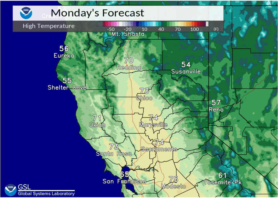
Temperatures will cool slightly, but still remain 5 to 10 degrees above normal with Valley highs 70 to 75 degrees.
Gusty downslope east winds will develop over the Sierra Tuesday morning, as colder air drops south on the eastside of the crest and tries to advect westward over the Sierra.
Upper high will begin building east over NorCal again Tuesday with winds diminishing during the afternoon and Valley high temperatures approaching 80 degrees.
Ensembles and clusters are in good agreement with ridge remaining over the area Wednesday and Thursday with temperatures warming to 80 to 85 degrees at Valley locations.
Upper end of NBM guidance suggests some probability of 90 degrees at a few locations, so we will have to monitor if trends are upwards over the next few model runs. Record highs are around 90 degrees at many spots Wed/Thurs.
Extended discussion (Friday through Monday)
Dry weather expected Friday into Saturday as upper ridging moves through and upstream Pacific storm approaches. Models differ with strength of system.
Forecast attm leans towards GEPS/GEFS ensemble solutions a threat of precipitation spreading into interior NorCal Saturday night into Sunday. System progged to be slow moving with threat of showers continuing Monday.