
August 18, 2016 – Warm and mainly dry weather continues. Isolated Sierra thunderstorms through early next week.
Discussion
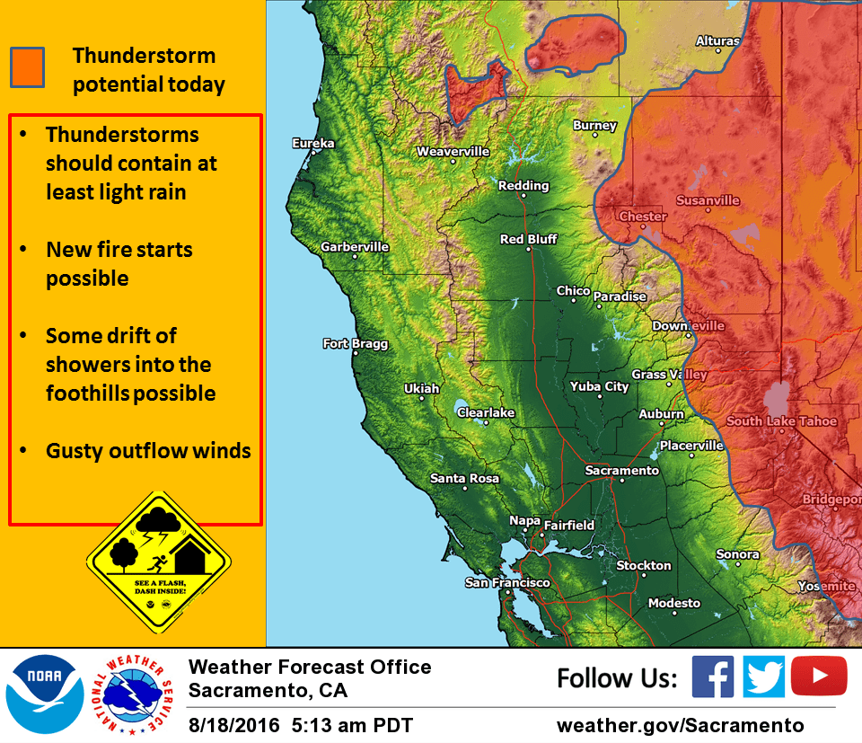
Weak upper low currently sagging southward through northern California. By this afternoon, the trough axis should be south of the CWA. Overall effect of this system has been minimal so far. Yesterday afternoon saw isolated thunderstorms over the northern Sierra south of Tahoe. Stability proggs indicate this is the most likely place for thunderstorms to occur again today but northeast flow aloft and orographics could bring thunderstorms anywhere along the Sierra crest today with some drift possible to slightly lower elevations.
Stability and upper flow should prevent thunderstorms from other mountain regions. Overall temperatures should come in similar today to Wednesday remaining a few to several degrees above normal. Upper low drifts southward slightly on Friday taking thunderstorm threat southward down the Sierra with main afternoon thunderstorm threat again south of Tahoe.
Little change in airmass will mean little change in daytime highs. Delta breeze remains moderate so little change there either. Upper ridging centers over the Pacific Northwest and Norcal on Saturday producing increased stability so not expecting any mountain thunderstorms for the first day of the weekend.
Overall airmass actually cools a bit but daytime highs will still come in a little above normal. An upper trough pushing into the Pacific Northwest on Sunday is expected to bring a little cooling most areas dropping daytime highs down to near normal for this time of year. This system could bring enough instability for isolated Sierra thunderstorms but chances are fairly minimal and likely limited to south of Tahoe.
Extended discussion (Monday through Thursday)
Model forecasts are in fair agreement to bringing a positively tilted shortwave trough across the Pacific northwest starting at the beginning of next week. As this system passes to the north, increased areas of instability will result mainly across the Sierra and bring chances for afternoon and evening showers and thunderstorms. This intrusion of air to the north of the forecast area will also bring a return to near normal temperatures to slightly below normal for some locations. High temperatures in the valley Monday will be in the low to mid 90s for the San Joaquin valley and lower Sacramento Valley, with temps in the upper 90s for the northern portions of the Sacramento valley. Higher elevations could see 70s and lower 80s.
The shortwave trough base will slide to the east on Tuesday, which will effectively end the thunderstorm threat for the Sierra. A ridge of high pressure will build in the eastern Pacific and bring dry conditions and gradually warming temperatures back to the forecast area through the middle of next week, but temperatures are not expected to deviate much from near to slightly above normal temperatures.