October 4, 2016 – Partly cloudy skies over NorCal with a chance of showers over the northern mountains. Clearing and warmer after mid-week.
Discussion
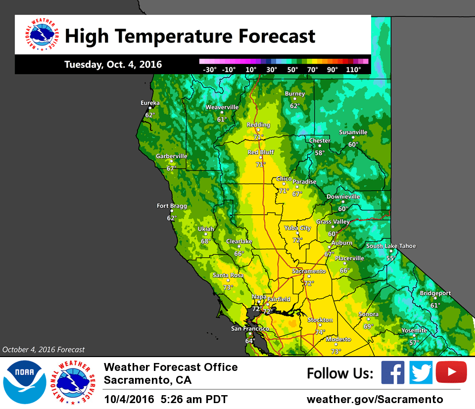
Skies are mostly cloudy across the northern half of the forecast area, and mostly clear to the south. Temperatures are generally in the 40s and 50s across the region.
Weak ridging overnight will give way to more cyclonic flow across NorCal today and Wednesday as the large low off the BC coast moves into the PacNW. Shower chances will be mainly confined to the northern mountains with partly cloudy skies elsewhere.
Temperatures will moderate a bit today and Wednesday with most areas seeing more sunshine. After mid-week, highs will return to seasonal averages and overnight lows will cool under clearing skies and a drier airmass.
Extended discussion (Saturday through Tuesday)
Northern California will remain under the influence of upper level high pressure for the coming weekend with near normal highs in the low to mid 80s across the valley and 60s/70s for higher elevations. The forecast is expected to remain dry through Sunday.
Models are coming into better agreement in depicting a deepening upper level low in the eastern Pacific Sunday night and moving onshore in the Sunday night through Monday morning time frame. Timing differences and exact track patterns are still evident among the models, and as a result the precipitation forecast is uncertain for Sunday night into Monday. As of right now, rain showers are expected to be north of Redding and outside of the forecast area, although confidence in the exact track of the system is low. At the moment, the forecast will remain dry for the start of next week.