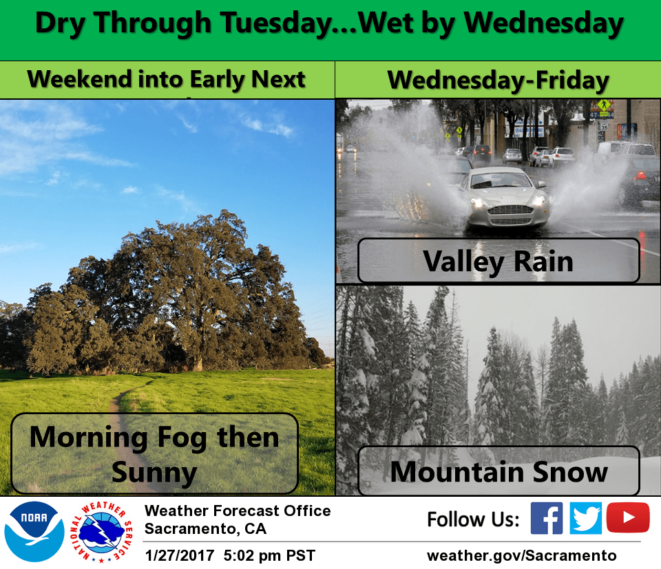
January 28, 2017 – Dry next several days with patchy morning valley fog. Wet pattern returns with light precipitation Wednesday with heavier rain and mountain snow Thursday and Friday.
Short Term Discussion (Today through Tuesday)
High pressure will dominate the weather pattern through Tuesday. Dry weather with cool mornings and warm afternoons.
Lows will generally be in the 30s for the valley to the single digits to the teens for mountain valleys. Highs will range from the upper 50s to mid 60s for the valley and 40s today and mainly 50s through Tuesday for the mountains.
Less high cloud cover is expected tonight which should allow for better fog development on Sunday morning through the central part of the valley south of Marysville where dense fog could form.
Some high clouds will return Sunday through Tuesday help help limit the amount of fog development each morning through Tuesday and likely keep any fog development patchy.
Extended discussion (Wednesday through Saturday)
Return to wet weather second half of next week as a Pacific weather system moves through NorCal Thursday and Friday. Early projections of snowfall are 1 to 2 feet above 6000 feet. Valley rain could total an inch or two. Drier weather returns next weekend.