September 15, 2016 – Dry through the extended period. Near normal daytime temperatures today then above normal through early next week. Cooler temperatures next week with breezy north winds at times.
Discussion
High pressure over the eastern Pacific and west coast bringing fair skies across the CWA. Marine layer remains minimal with satellite fog product showing only patchy stratus through the Bay Area so not expecting any significant intrusion into the delta this morning.
Temperatures this morning running similar or warmer than 24 hours ago indicating a warming airmass. Temperatures today are forecast to warm a few to several degrees hitting right around normal for this time of year.
Upper ridge axis pushes to the coast on Friday with subsidence bringing more warming with daytime highs about 5 degrees above normal. Light northerly winds across the region will bring drying humidity with RH values dropping into the teens most areas by Friday afternoon.
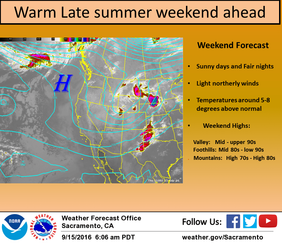
Upper ridge slides across the state over the weekend with daytime highs leveling off at several degrees above normal. This will make for a warm and sunny late summer weekend with generally light northerly winds.
Extended discussion (Monday through Thursday)
Flat ridging will keep temperatures across the region a few degrees warmer than normal early next week. Longer range models are coming into better agreement bringing a trough through the Pacific Northwest by the middle of next week. Guidance remains to be dry for NorCal with this system, though depending on how this system evolves, breezy north winds could result. At the very least, expect a modest cooldown with this system.