October 19, 2016 – Dry through the end of the week with a little above normal temperatures. A little cooling Saturday with a chance of precipitation spreading over the forecast area late Sunday through mid week with a slow cooling trend.
Discussion
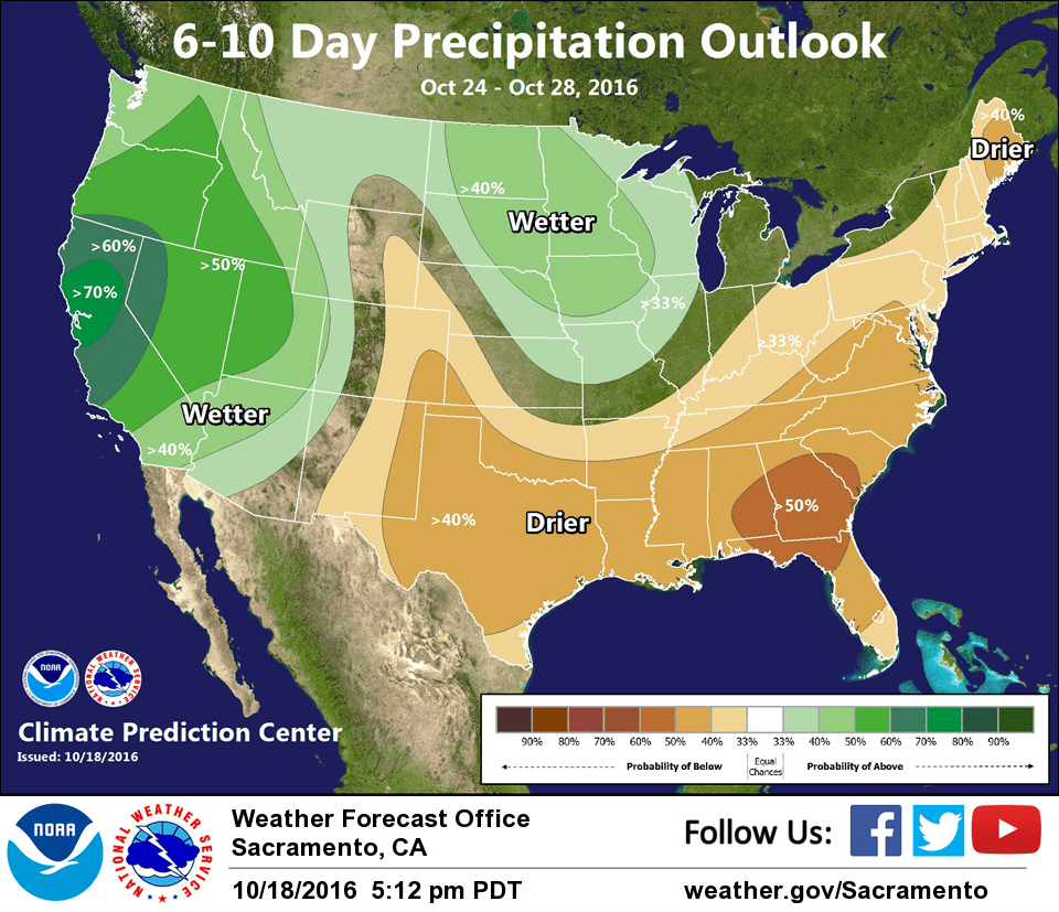
An upper level high pressure ridge will slide over the west coast over the next few days bringing fair skies and a little above normal daytime temperatures. This combined with a weak northerly surface gradient will bring light north winds to the CWA. The upper ridge axis is forecast to shift into the Great Basin on Friday. This will bring a shift to a more onshore flow and the beginning of a slow cooling trend. A low pressure trough is forecast to approach the coast on Saturday bringing a stronger onshore push and cooler temperatures with daytime highs dropping to a few degrees below normal. At this time, no precipitation is expected during the short term period but a wetter pattern may return next week.
Extended discussion (Sunday through Wednesday)
The trough is expected to move further inland on Sunday providing a few more degrees of cooling and high cloud cover for our area. By Sunday night, a chance of precipitation spreads across much of NorCal. The broad trough will remain just offshore and rotate energy through our area through Tuesday. Beyond this, the GFS and ECMWF begin to diverge. They both hint at the main low moving into Montana with a trailing trough through Oregon to NorCal, but the GFS brings in ridging behind the front while the ECMWF develops a cutoff low offshore by next Thursday.