November 1, 2016 – Remaining showers taper off today, then drier weather returns for the rest of the week. Next chance of precip this weekend.
Discussion
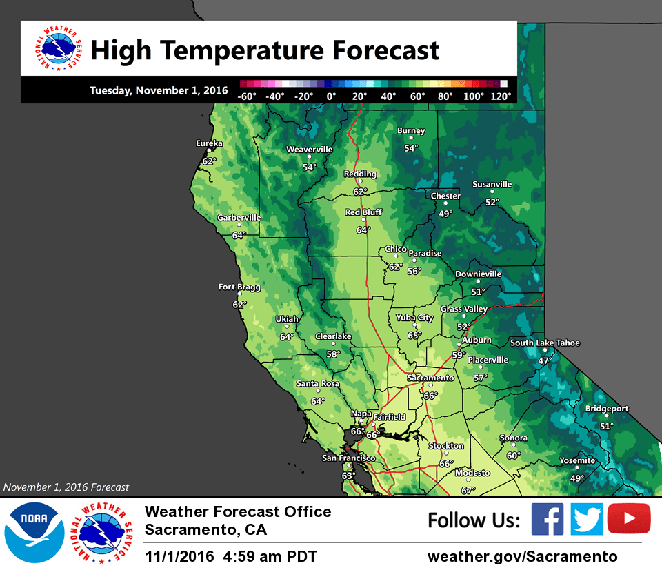
Radar showing quite a bit of shower activity continuing across interior NorCal early this morning as the upper trough passes overhead. Snow is continuing at the higher elevations of the northern Sierra and Cascade Range, and Caltrans traffic cameras are showing accumulating snow occurring over Donner Pass on I-80. Temperatures are mainly in the 30s to lower 40s in the mountains with 50s elsewhere.
Showers are expected to taper off rather quickly across the region by mid-morning as the trough shifts east and ridging from the eastern Pacific builds rapidly in its wake.
The building ridge is expected to keep the region dry with cool nights and milder days through the end of the week. Another system moves over the ridge Wednesday night bringing some clouds, but any precipitation is expected to remain over far NW California and areas north of the Oregon border. With the longer nights of fall coupled with moist ground, patchy late night and morning valley fog is expected to become more prevalent during the second half of the week.
Extended discussion (Saturday through Tuesday)
A weather system will begin to move through northern California next weekend. The GFS remains to be a bit stronger and farther south with this system than the ECMWF or GEM, but overall confidence has increased that some parts of the forecast area will at least see light precipitation.
Dry weather returns early next week as high pressure rebuilds over California. Temperatures are expected to remain within a few degrees of normal through the extended period.