
Winter Storm Warning remains in effect from 10 AM today through 10 AM Saturday for elevations above 6000 ft.
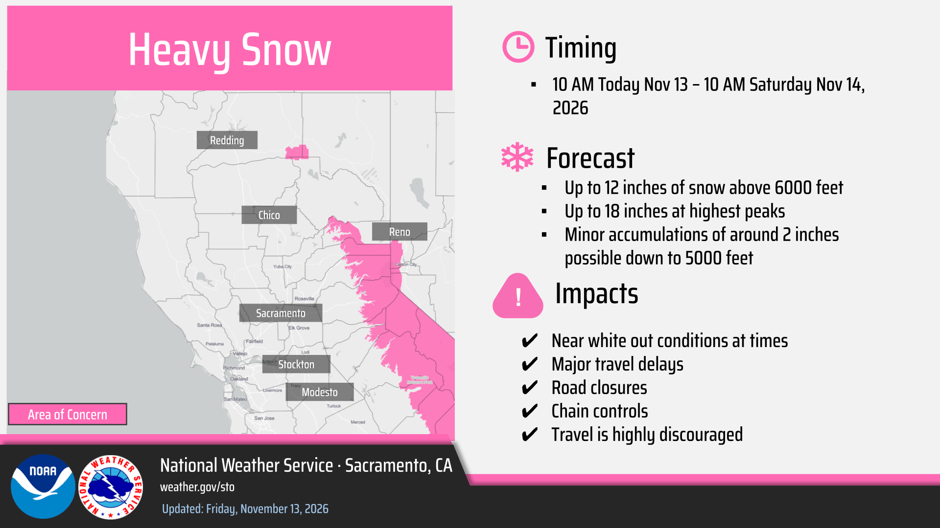
Snow levels 7000 to 8000 feet Friday, lowering to 5500-6500 feet Saturday.
- Heaviest snowfall expected this afternoon and evening. Light flurries up to 2 inches are possible down to 5000 feet with higher accumulations remaining above 6000 feet.
- Travel delays, chain controls, and slick/slippery roads are the primary impacts
- There could be a period of heavy snow with 2″ or more per hour, which will bring the potential for whiteout conditions
Break in widespread snow Saturday, with light snow showers tapering off Saturday afternoon.
Wind Advisory through 7 PM this evening for the north/central Sacramento Valley, the Delta and vicinity, including the I-80.

Strongest winds expected late this morning into the afternoon.
Heaviest precipitation:
This afternoon and evening, November 13, 2026. Break in rainfall by Saturday before the next system arrives on Sunday.

Isolated thunderstorms may produce dangerous lightning, gusty winds, funnel clouds, small hail, and brief heavy rain, impacting outdoor activities and recreationists.

Best potential in the afternoon and evening.
Storm #2: Precipitation Forecast
The next system will bring additional widespread rain, mountain snow and gusty south winds Sunday evening through Monday, with lingering showers through Tuesday.
Uncertainty remains regarding the specific rain and snow amounts.
Looking Ahead:
Confidence is starting to increase for the middle to late of next week for continued active weather across interior NorCal, with additional rain, gusty winds and snow possible, potentially with lower snow levels.