April 20, 2021 – Cooler today with the chance of mainly mountain showers and thunderstorms. A few showers possible Wednesday in the Sierra south of Tahoe. Otherwise dry and warmer weather returns through the end of the week. Chance of precipitation returns this weekend.

Discussion
Radar has indicated ongoing scattered showers just to the north of the forecast area (near the Oregon border over Siskiyou and Modoc Counties) since late Monday evening as the initial short-wave approaches the northwest coast of California. Skies have been clear to partly cloudy further south. A more robust Delta Breeze has brought some minor cooling to the Sacramento and Stockton areas compared to 24 hours ago, but the remainder of the region continues to see unseasonably mild early morning temperatures currently ranging from the 30s in the colder mountain valleys, to the mid 60s across milder portions of the northern Sacramento Valley.
Robust vort currently off the southwest coast of Oregon will slide southeast across NorCal today reaching the Sacramento area by this evening. Scattered showers and a few thunderstorms are expected over the mountains, and near the track of the mid/upper low. Most activity today is expected north of Sacramento, but CAMS are indicating there will be a brief window for showers and thunderstorms around the Sacramento area early this evening as the low passes.

Sounder data indicate TPW over NorCal is generally around 1/2 inch or less, but forecast soundings indicate that sufficient moisture will be available for increasingly deep convection as the day progresses. Forecast soundings do indicate rather high cloud bases with dry sub-cloud layer below about 750 mb. Primary threats expected to be lightning, small hail, brief heavy rain and gusty outflow winds.
Highs today will be around 5-10 degrees cooler compared to Monday. Additionally, gusty north winds will also accompany the trough for the northern Sacramento Valley. Strongest gusts are expected up to around 30 mph. Locally breezy downslope winds pick up later tonight in the Sierra before gusty winds return to the northern Sacramento Valley again Wednesday.

Conditions remain extremely dry in this region of the Valley with minimum daytime RH values forecast Wednesday in the single digits and teens. This combined with gusty winds could create locally elevated fire weather concerns. It is recommended to avoid outdoor activities that could create sparks.
Ridging returns behind the trough passage bringing dry weather and warmer temperatures. Valley highs return to the mid to upper 80s for the second half of the week.
Extended discussion (Saturday through Tuesday)
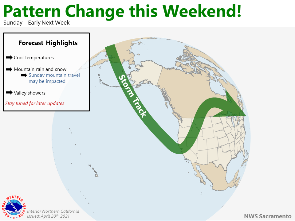
The forecast remains on track this morning as ensembles and model guidance continue to favor a pattern change for the weekend. Saturday looks to remain dry as ridging hovers over the region; however, this will likely give way late Saturday into Sunday as a large upper level trough moves toward the West Coast!
Cooler and wetter weather is forecast Sunday and Monday, with conditions drying out for portions of NorCal by Tuesday. There is still quite a bit of uncertainty on the timing and strength of this storm, so please stay tuned to the forecast.