
Here’s your morning update:
Hazards
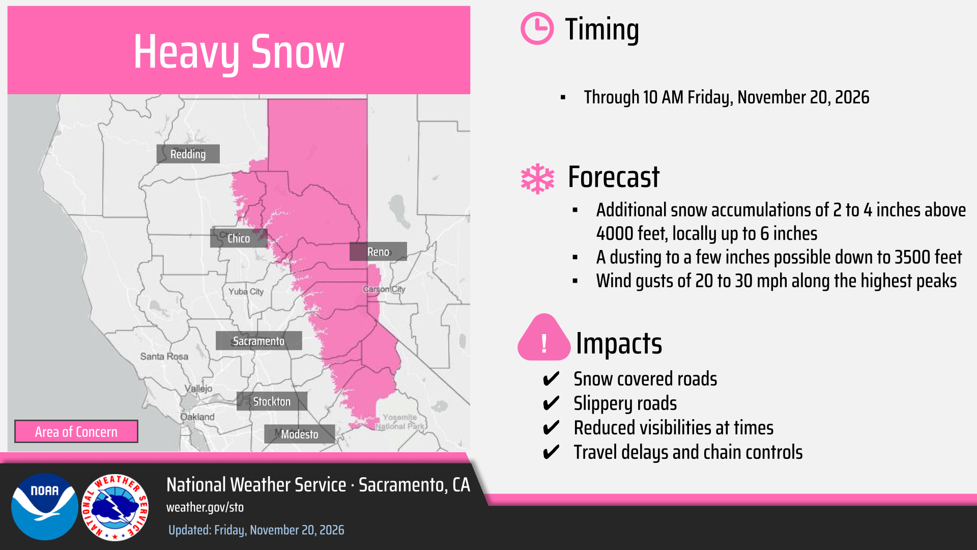
- Winter Storm Warning remains in effect for elevations above 4000 feet for the northern Sierra and southern Cascades until 10 AM today.
Today – Early Saturday AM

- Lingering showers are expected through early this afternoon, followed by dry weather.
- Cold morning lows are forecast Saturday morning, with lows in the 30s across the Valley and teens to 20s in the mountains.
- Areas of fog are possible Saturday morning across portions of the Valley and Delta. Any fog that develops is expected to dissipate by late morning.
Saturday-Sunday:

- A weak system arrives late Saturday morning into Sunday, bringing light Valley rain and light to moderate mountain snow above 4000 feet. A dusting of snow is possible down to around 3500 feet.

Next Week:
- Drier conditions are expected on Monday
- Unsettled weather continues into Thanksgiving week with possible holiday travel impacts. Specific details remain uncertain at this time, but it’ll be potentially wetter and windier than the weekend system.

