
February 21, 2017 – When wildfires spread and scorch the earth, people like Penny Luehring have to act fast. Secondary impacts such as debris flows can be devastating to nearby communities.
As program leader for the National Burned Area Emergency Response (BAER) Team for the U.S. Forest Service, it’s her job—along with her team—to manage and assess the effects of fires, including what can happen right after a fire and what damage can occur long afterward.
“We have an important role as stewards of the land,” said Luehring. “National forest lands, national parks, wildlife refuges, tribal lands: that’s our responsibility, to protect those tribal and public lands from [aftereffects] triggered by the fire.”
According to the National Interagency Fire Center, in the last decade, wildfires burned over 80 million acres of lands across the United States. So far in 2016, massive wildfires have affected sections of the Nation. For example, the Range 12 Fire in Washington burned over 176,000 acres and the Hot Pot Fire in Nevada burned over 122,000 acres.
Wildfires can brutalize vegetation. “Natural, unburned vegetation protects the soil from erosion,” said Luehring. But high-severity fires make soils water-repellent, “so [the soil] no longer acts like a sponge during rainfall events, and water runs off rapidly, taking the soil with it.”
This loss of absorption means that when the rains come, more water stays on the surface, causing fast-moving slurries of soil, rocks, boulders, vegetation and water, called debris flows, along with flooding.
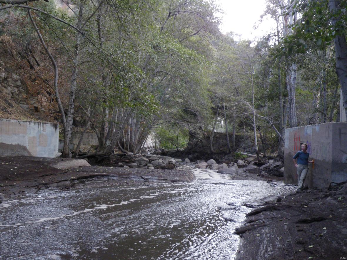
A debris flow can destroy any object in its path; they strip vegetation, block drainage, and damage homes, forests, parks, and community water resources such as dams and reservoirs. They also endanger human lives. Debris flows are particularly dangerous because they can be triggered by rainfall that would not otherwise cause problems. But after a fire has left vegetation-denuded slopes, water can wreak havoc: the rain comes, the ground fails.
“What we do is time-sensitive,” Luehring said. “Many times the damaging events are right around the corner.”
Her team typically provides an assessment 7 days after a fire is contained. The team starts the BAER assessment when fires are between 60 percent and 80 percent contained.
“What we do is postfire risk management,” she said. “We don’t provide rehabilitation for the damages caused by fires or repair what was burned, but we try to predict and manage what might happen after the fire.”
A critical component of managing the effect of debris flow is to know when and where it may happen next. That’s where U.S. Geological Survey (USGS) involvement begins.
The USGS uses predictive models to estimate the probability and size of debris flows that may occur in response to a storm.
“There was a time when it took us almost a month to get assessments out to our customers,” said Dennis Staley, a research physical scientist at the USGS.
That timetable has since changed. “Now we’re able to turn around results in just a few days,” Staley said.
Staley and his team produce maps based on models derived from data, such as burn severity, collected from recent wildfires. These models take into account the combined effects of storm rainfall conditions, terrain and soil properties, and the area recently burned.
For Luehring, the USGS is a valuable resource that can accommodate BAER’s short timeframe.
“Whether it’s the State emergency agencies, Homeland Security, or other emergency response entities like FEMA [the Federal Emergency Management Agency] who’re in charge of public protection, the USGS provides information that helps them do their job fast,” said Luehring.
To gather all the necessary data, the USGS works alongside agencies such as the U.S. Forest Service, the U.S. Department of Agriculture’s National Resource Conservation Service, the National Weather Service, U.S. Department of Interior land management agencies, and many other public and private groups.
In 2015, the USGS completed 35 hazard assessments, fulfilling all BAER Team requests for major fires that year.
“We’re helping out groups that need it, and we’re doing this as a public service,” said Staley. “We took a pretty clunky process and turned it into something efficient.”
In 2014, a fire broke out in the Silverado Canyons of the Cleveland National Forest in Southern California. The fire burned about 1,600 acres of land. Evacuations affected about 217 homes, according to news reports.
At the request of the U.S. Forest Service, the USGS developed a debris flow hazard map that helped Forest Service geologists identify at least five homes in the Silverado Canyon, and an unnamed watershed, that were in danger of debris flow. Emergency response agencies were alerted and advised to conduct additional evaluations and warn communities in the at-risk area of potential flood and debris flows.