March 21, 2021 – A few lingering showers ending this evening near the crest Mostly dry weather returns Sunday into next week with a slight chance of mountain showers Monday and Thursday. Warmer temperatures expected Sunday, rising to above normal by Tuesday. Breezy to locally windy Tuesday and Tuesday night.

Discussion
Mostly clear skies are being observed on satellite early this morning with only some localized fog in the mountains. Below normal low temperatures are forecast this morning with Valley temperatures in the mid to upper 30s. Strong upper level ridge has developed in the eastern Pacific with interior NorCal residing on the eastern edge of the ridge.
Ensembles suggest this general pattern will remain through most of the week with a couple of weather systems moving along the flow to our east and just brushing our forecast area.
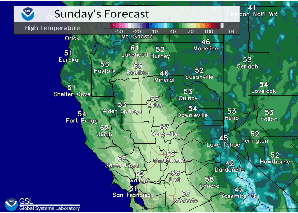
This pattern will bring increased north winds today and Monday, generally up to 10 to 15 mph, which will allow temperatures to warm back to near or a few degrees above normal today. These temperatures will continue through early week with daytime Valley temperatures in the mid to upper 60s and mountains and foothills in the 40s to 50s.
Ensembles depict a weather system will slide south from the PacNW through Nevada Monday into early Tuesday, just grazing NorCal. This could produce a slight chance of isolated mountain showers Monday. However, the main impact with this system will be breezy north to east winds Tuesday through early Wednesday as surface pressure gradients tighten behind the trough passage.
Strongest Valley winds will be Tuesday through Tuesday evening with gusts up to 25 to 35 mph. Strongest winds in the mountains and foothills will be overnight Tuesday into early Wednesday with gusts up to 35 to 45 mph, locally higher over wind prone areas.
Ridging builds back in Wednesday with temperatures rising a few more degrees with daytime temperatures at most locations around 5 to 10 degrees above normal. Valley locations are forecast to see high temperatures in the low 70s.
Extended discussion (Thursday through Sunday)
Another weak system will skirt the region late Wednesday night and Thursday that may bring a few showers to mainly the northern Sierra Nevada.
Behind that, breezy northerly winds will develop once again and temperatures will warm into the 70s across the Central Valley by the weekend, around 5-15 degrees above average.