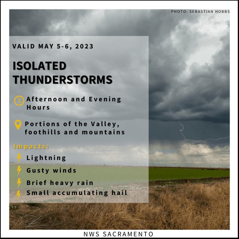
Cool unsettled weather continues through the weekend with shower and thunderstorm chances. The higher elevations will see late-season snow showers with some minor accumulations.

Discussion
Upper low has progressed into the Great Basin as next upstream short wave poised to drop into the longwave trough along West Coast. Isolated showers this morning expected to become more widespread this afternoon as vort max moves into the CWA and upper level divergence increases.
Elevated CAPE progged over portions of the mountains and Northern Sac Valley this afternoon could lead to some isolated thunderstorms. Moist AMS and abundant cloud cover will keep highs today well below normal. Areas of breezy southerly wind expected this afternoon.

Precip threat ramps up and becomes more widespread tonight into Saturday over interior NorCal as negatively tilted trough moves into the forecast area. Some accumulating snow possible in the higher elevations of Western Plumas county and Northern Sierra Nevada. Snow levels expected around 5000 to 6000 feet, lowering to 4500 to 5500 feet Saturday. Increased instability will lead to a more widespread areal threat of thunderstorms tomorrow afternoon. Locally gusty southerly wind continues Saturday.

Decreasing threat of showers expected Saturday night into Sunday as broad troughing in place awaits next upstream short wave. WPC storm total QPF for this system showing a few tenths in the Northern San Joaquin Valley to around half an inch possible in the Northern Sac Valley. Local snow accumulations of 5 to 10 inches being advertised above 6000 feet in the Southern Cascades and Northern Sierra Nevada Friday night through Saturday night. Below normal high temperatures will continue over the weekend.
Next short wave progged through Sunday night into Monday. Precip amounts look less with this system with bulk of light QPF progged over the mountains north of I-80.
Extended Discussion (Tuesday through Friday)
Ensemble guidance and cluster analysis have the upper level trough moving across California early next week, bringing continued cool and unsettled weather into Tuesday, mainly in the form of mountain showers.
Latest National Blend of Models (NBM) probabilistic data advertises a 10 to 50 percent probability of a tenth of an inch or greater in the foothills and mountains, and a 5 to 25 percent probability of greater than a quarter inch of QPF over 24 hours ending early Wednesday morning.

For the rest of the week, there is some uncertainty with how fast the trough shifts eastward, but model guidance suggests a warming trend with upper level ridging building back in. The uncertainty is reflected in the large spread of the NBM max temperatures for the extended forecast period, however near to above normal highs are possible by late-week.

