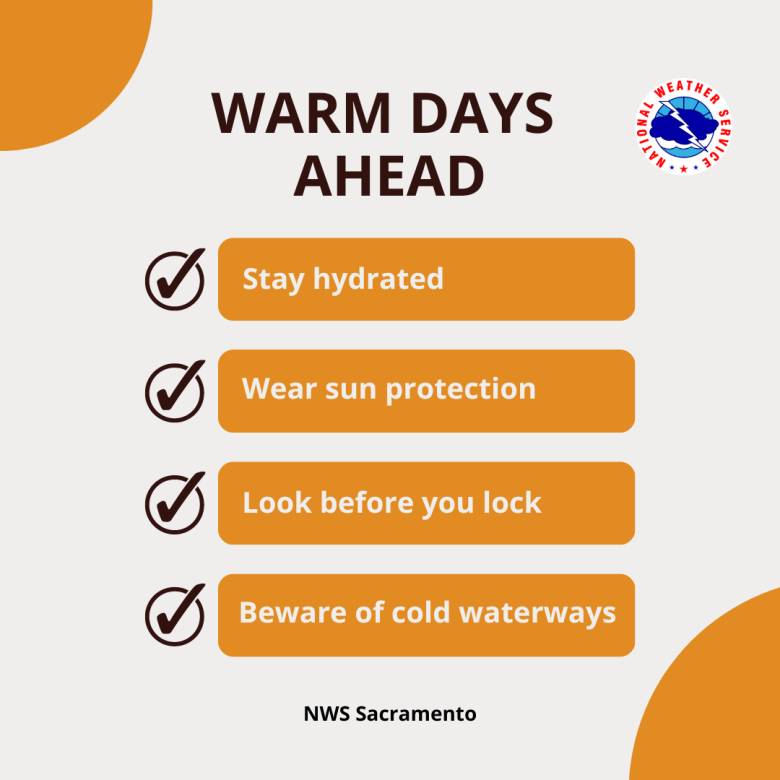
Significant warming trend will bring widespread moderate heat risk over the weekend into next week. Rivers and creeks will continue to flow high, cold, and fast as a result of mountain snowmelt. Locally breezy north to east winds Saturday, with little to no impacts. Afternoon thunderstorms over the mountains Sunday and Thursday. No debris flow impacts expected to burn scars.

Discussion
Skies are clear across the region early this morning. Surface flow is beginning to transition to offshore as surface pressure gradient reverses, except for a lingering weak Delta Breeze extending inland to about the Sacramento area. Local north to east wind gusts of 15-25 mph are present in the foothills of the northern Sacramento Valley and across the northern Sierra.
Ridging along the West Coast will build northward into the PacNW today and Saturday with strengthening high pressure over NorCal. This will be accompanied by north to east offshore flow at the surface. By Sunday, the ridge is forecast to lift north into a block over southwestern Canada (centered over southern Alberta) as a retrograding upper low approaches from the east leading to a return of onshore flow. The models have been pretty consistent forecasting the evolution of this pattern all week lending confidence to the forecast.

Warming temperatures
The result will be a continuation of the warming trend that began on Thursday. Highs today are forecast to be about 10 degrees warmer than yesterday and reach the lower 90s in the Sacramento Valley, and an additional 5 to 10 degrees of warming is expected on Saturday with warmest readings approaching the century mark in the Central Valley. Some moderation is expected Sunday and early next week as the low moves under the block and onshore flow returns.
As a result, areas of moderate heat risk will develop in the Central Valley today and become more widespread over the weekend.

What does moderate heat risk mean? There is a moderate risk for heat-sensitive groups, like the elderly and children, to suffer from heat stressors who do not have adequate cooling and/or hydration. Remember to NEVER leave children or pets unattended in a vehicle.

The retrograding low will bring an increasing risk for mountain thunderstorms Sunday afternoon and evening. Lightning, gusty winds, bring heavy rain and perhaps some small hail may accompany strong storms. Deeper moisture and instability is forecast to lift north of the region on Monday.
Extended Discussion (Tuesday through Friday)
Four Corners high extends NW over interior NorCal through the extended forecast period. This will result in continued above normal high temperatures Tuesday through Friday with upper 80s to mid 90s in the Central Valley. Slight chance of afternoon showers or thunderstorms over higher elevations of the Sierra Nevada Thursday and Friday.
