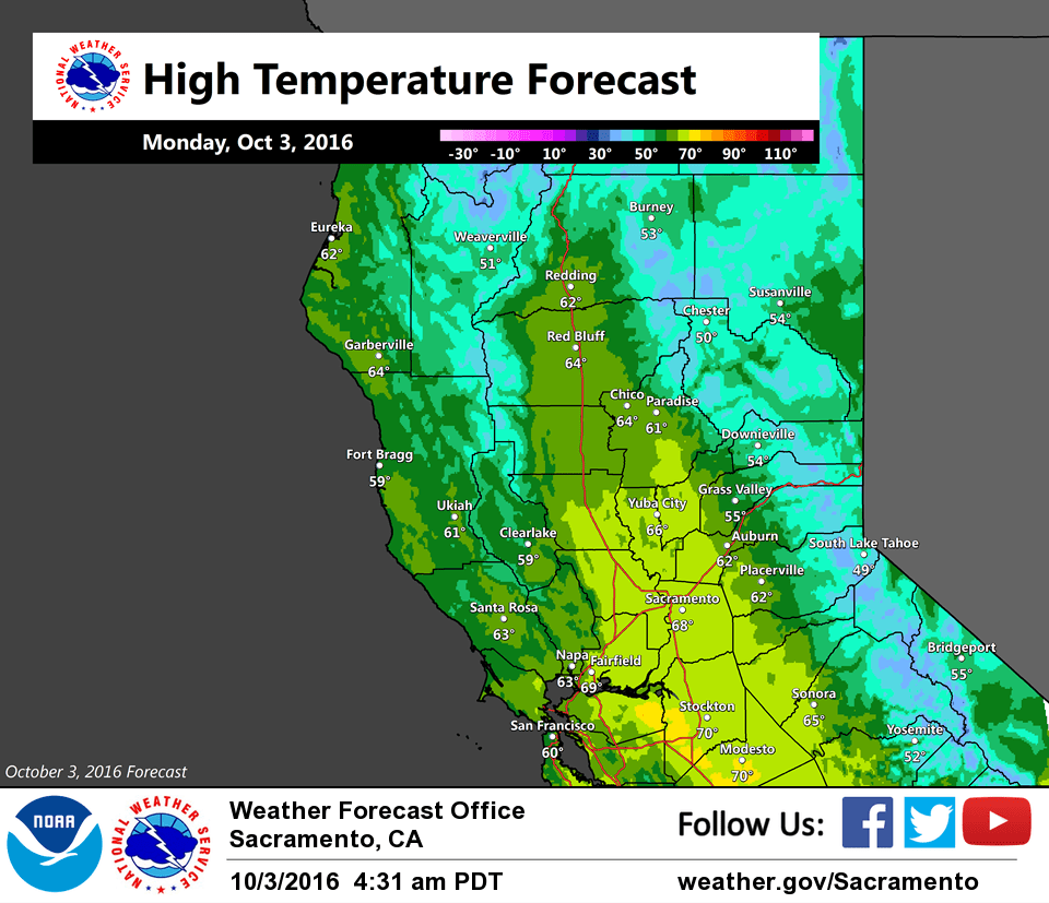
October 3, 2016 – Mostly cloudy skies with scattered light showers today. A return to drier and milder weather begins Tuesday.
Discussion
Upper trough is shifting east through the Great Basin into the Rockies and remaining showers have ended in the northern Sierra. Northwest flow on the backside of the trough covers NorCal, and satellite imagery shows plenty of cloudiness upstream moving our way.
Scattered light showers will be possible across interior NorCal today as the offshore moisture plume reaches the coast. TPW of around an inch is forecast to reach the coast around the Bay Area by midday, but large scale lift will be minimal resulting in only spotty light precipitation.
Precipitation chances retreat to far northern California near the Oregon border for Tuesday into Thursday as ridging from the eastern Pacific moves into NorCal. Temperatures will return closer to seasonal averages by Thursday.
Extended discussion (Friday through Monday)
An upper level high pressure ridge will keep dry weather and seasonally average temperatures across northern California Friday and Saturday. Highs in the valley are expected to be in the upper 70s to mid 80s, and 50s/60s in the higher elevations.
Model forecast solutions begin to differ on Sunday to a track of a shortwave upper level trough. General agreement is to a stormy pattern at the moment, but amplitude and timing of the feature is inconsistent. There could be a chance for the depicted wave to be the next weather making system that could bring some chances for precipitation. However until the track is determined, it is unknown at this time whether or not rain chances will be greatest for the Pacific northwest or further south into California. As per model consensus, decided to go with a more dry solution at this time until better model agreement can be determined.